Provides innovative solutions in High Performance Computing (HPC) and Unmanned Aerial Vehicle (UAV) technology for high-speed computing and long-range surveillance needs.
High-Performance Computing (HPC) leverages powerful computer systems to perform complex calculations and process large-scale data at extraordinary speed. It enables researchers and organizations to tackle problems beyond the reach of ordinary computers, from scientific simulations to advanced data analysis.
A cost-effective entry-level HPC solution designed for small-scale computing tasks. Ideal for startups, academic institutions, and research labs requiring reliable computational power.
Compatibility:
Sequencing
Base Calling
Descriptions
A mid-tier HPC solution with enhanced processing capabilities for more complex workloads. Best suited for businesses, research institutions, and industries requiring faster data computation.
Compatibility:
Infectious Disease
Targeted Sequencing
Miscellaneous
Assembly
Descriptions
A high-end HPC solution built for intensive workloads and large-scale simulations. Perfect for enterprises, scientific research centers, and financial institutions needing maximum computing power.
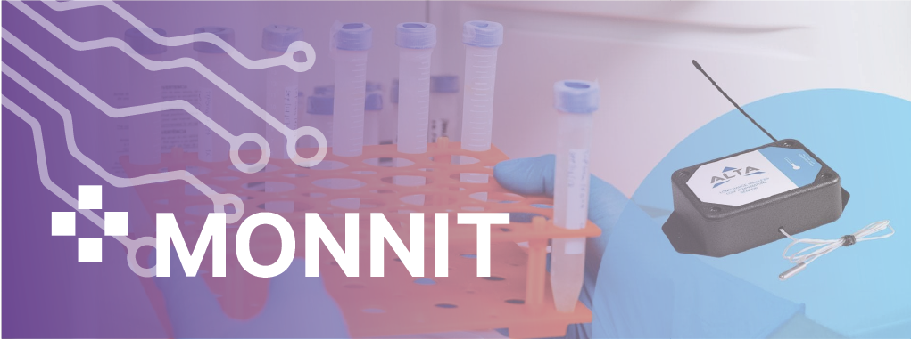
That’s what Monnit gives you with our Remote Monitoring Solutions—easily, quickly, reliably. Monnit Solutions—with our Sensors, Gateways, and Software for virtually any industry application – Deliver the data you need to run ypur organization right. the dayas of business guessing games are long gone with Monnit.
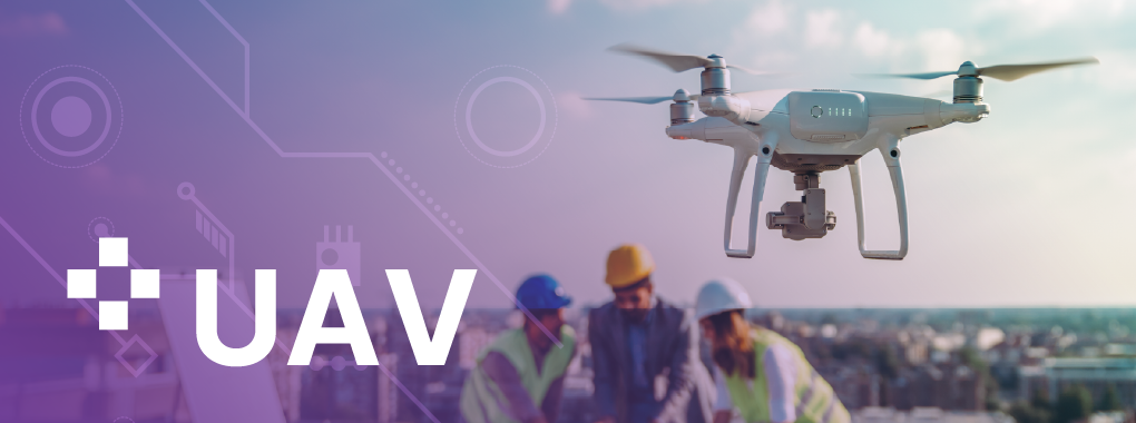
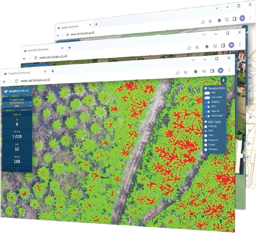
Drones for surveying and mapping, infrastructure inspection, and environmental monitoring. We also provide detailed mapping services for various needs, including mining, agriculture, and construction.
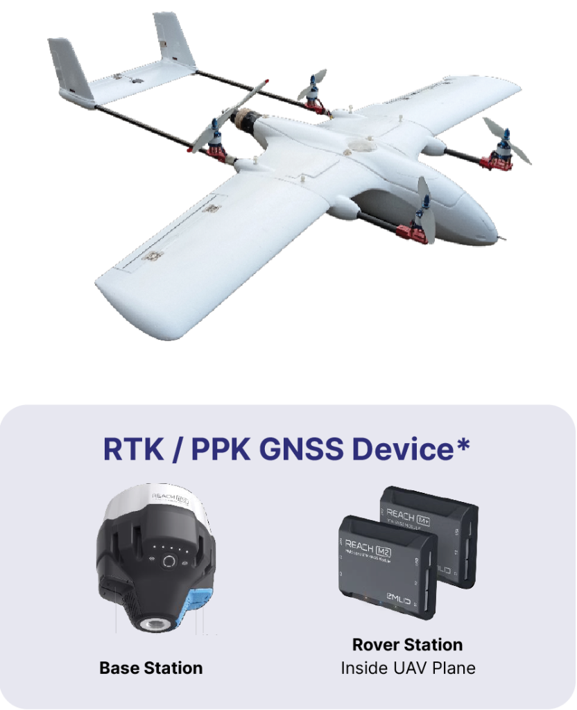
Flight Time with Payload: ~100 Min, Speed: 60 Km/h, Distance: 100 Km
Mapping Area: 1.000 Ha per Flight*
Payload Weight: 500 g, Wind Resistance: 35 Km/h .
Unlimited waypoint navigation fully automated take off, flight & landing
Pre-flight route created using computer ground station or mobile devices
Special Features: Terrain Following with Google Elevation Data, Multirotor Assist for Emergency Landing on VTOL, Dual Hybrid Battery Power with Li ion & LiPo on VTOL
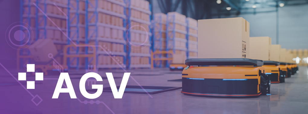
An operator-free automation system that can be used in the manufacturing and logistics industries to transport raw materials, finished products, or equipment, as well as assist in stock-taking optimization.